Do your own surveying with drones
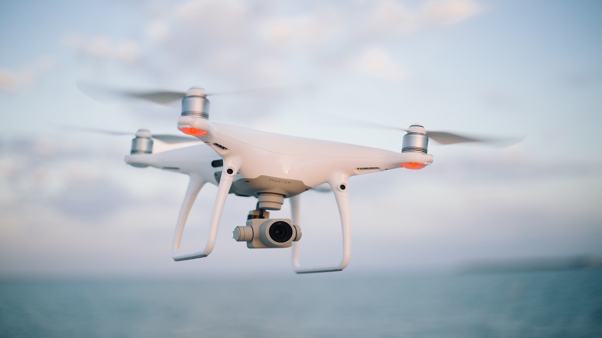
Drones open up new opportunities in today's modern world. In addition to entertainment and photography, drones are also used for surveying. Now you can quickly, accurately and efficiently make your own measurements using drones with the use of photogrammetry
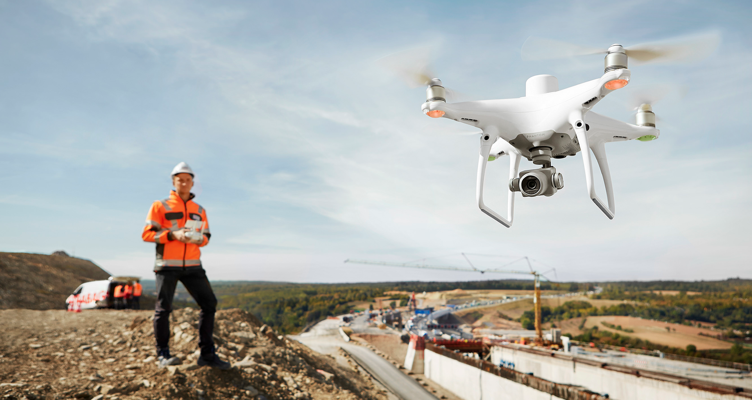
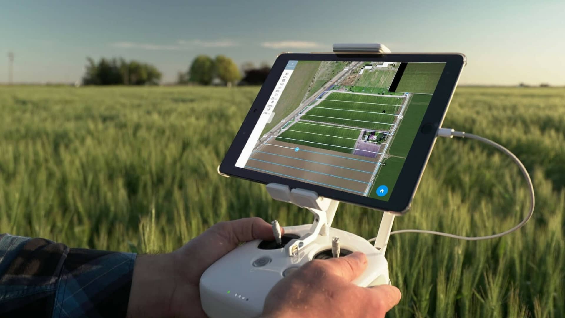
Surveying with drones
- Identify measurement areas, create a flight plan and comply with restrictions and permits.
- Calibrate the drone and collect data by flying over the area.
- Process the data with specialized software to generate accurate results.
- Use the detailed measurements to inform decisions and increase accuracy.
Precise and effective surveying
Drones have opened the door for accurate and efficient surveying. Regardless of whether you are a professional surveyor or an amateur, you can explore new heights and make your own measurements with drones. Discover a world of possibilities with drone technology!
High quality - Fair price
At Maxpartner, you get transparent prices that give you clarity, because we want to deliver products and solutions for reasonable money. Download our price list to get a detailed overview of our products and services and the associated prices.
Want us to contact you?
Fill out the form and we will get back to you shortly.
