
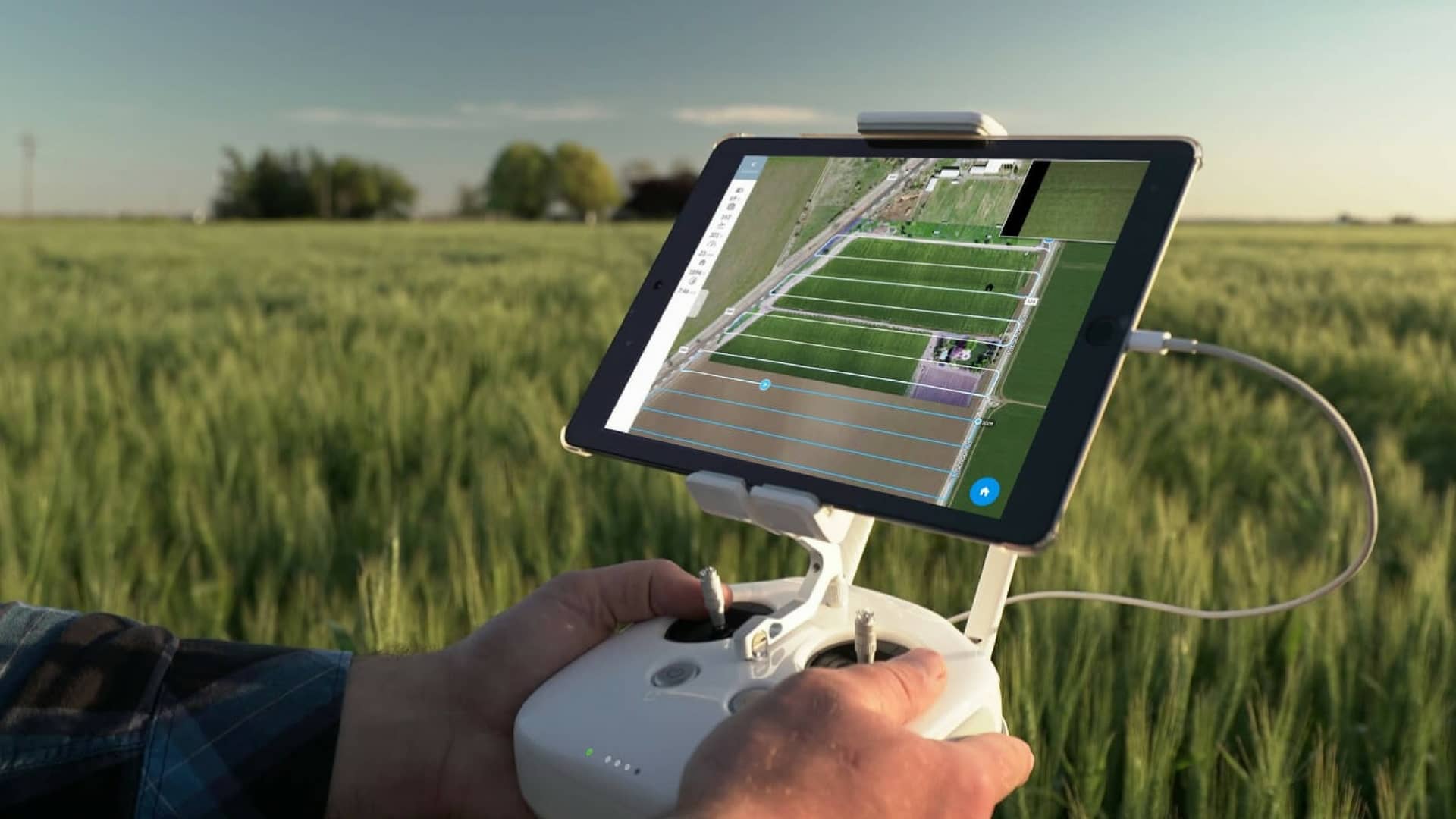


Photogrammetry can be needed for several reasons, especially when precise measurements and detailed models of physical objects and environments are needed. Among other things, to obtain accurate and detailed maps of terrain, properties and buildings. It can be crucial for the planning and construction of infrastructure projects, such as roads, bridges or urban development.
At Maxpartner, we are specialists in providing equipment and solutions for photogrammetry via drone. Our products and expertise allow you to take advantage of this advanced technology that can help you obtain accurate and detailed models of your objects of interest. Our experts will ensure that you receive the necessary training and guidance to use the equipment correctly and legally in your area.
With a solution from Maxpartner, you will be able to benefit from fast and efficient data collection. This not only reduces costs, but also the duration of the project, allowing you to speed up your work processes. Our solutions are suitable for a wide range of applications. Whether you work in land surveying, engineering, urban planning or environmental monitoring.
At Maxpartner, you get transparent prices that give you clarity, because we want to deliver products and solutions for reasonable money. Download our price list to get a detailed overview of our products and services and the associated prices.
Fill out the form and we will contact you shortly